A Photo Adventure: Baxter State Park 2015
July 17, 2021
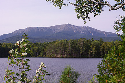
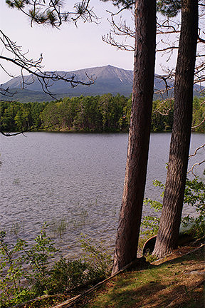
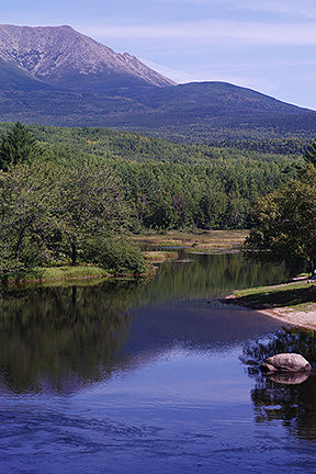
Back in 2015, I decided to head up to Baxter State Park for an extended Labor Day weekend. I wanted to spend some time exploring the area around my favorite campground, as well as see what I could see for wildlife. I packed up the jeep and headed north. Several hours later, I stopped at the rest stop in Medway for lunch. After I finished eating, I got back on the road, only to leave the highway a couple of miles later. I stopped to fill up on gas, then followed the smaller roads towards the park. I finally arrived at Baxter around 3:15pm. I made my first stop at the Visitor Center to talk with one of the rangers and get some advice. Afterwards, I walked out back down to the edge of Upper Togue Pond to get some of my first photos of Mt Katahdin. I always like to stop there for an unimpeded view of the entire mountain and to try to get some beautiful photos. This viewpoint has looked different every time I’ve visited, so I’m always hoping for an interesting variation on the images.
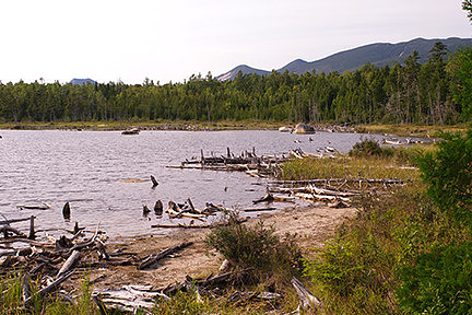
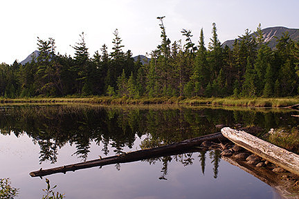
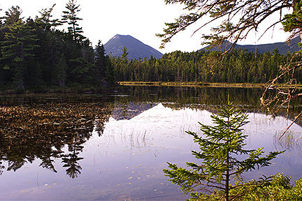
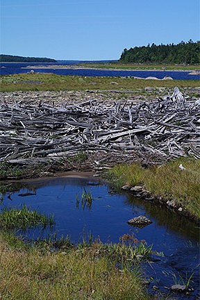
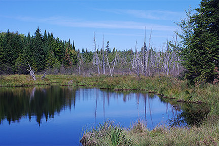
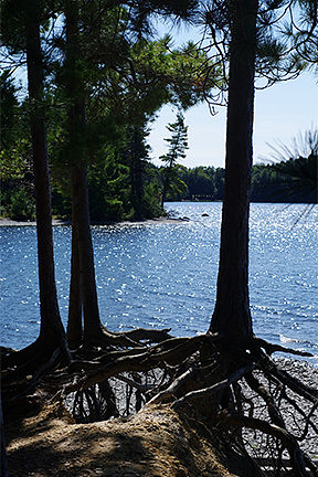
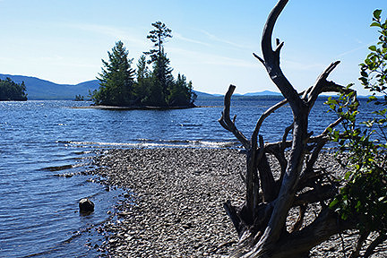
About an hour later, I stopped at the Stump Pond parking area. I don’t know why, but I’ve always found bodies of water dotted with dead trees (stumps, deadfall, logs, etc) absolutely fascinating. This pond is interesting itself, but depending on the weather, you can also catch a view of some of the other mountains beyond Katahdin, including my favorite, Doubletop Mountain.
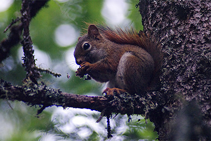
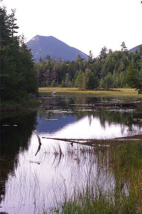
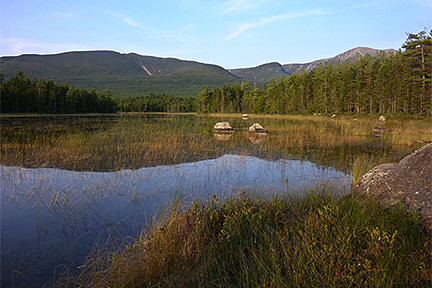
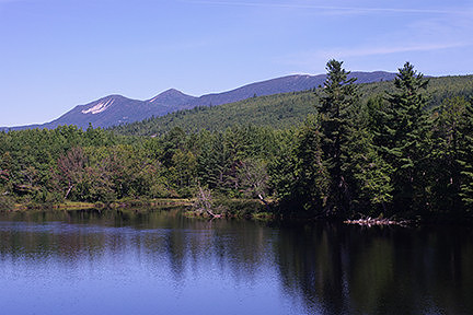
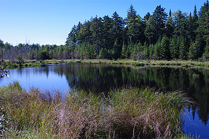
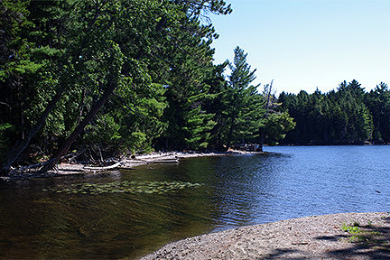
From there, I continued on to the little parking area for the Elbow Pond Trail. The first part of the trail is half a mile long and takes you past Tracy Pond and Elbow Pond. I stopped for some photos of a Red Squirrel in a tree above me, my first non-insect wildlife of the trip. I took a few photos of Doubletop Mountain at Tracy Pond, then continued on to Elbow Pond. I stayed there for nearly an hour. It was quite peaceful, and I really enjoyed my time there. I would have loved to see a moose there in the grassy water. They are a common sight there, but no luck that time.
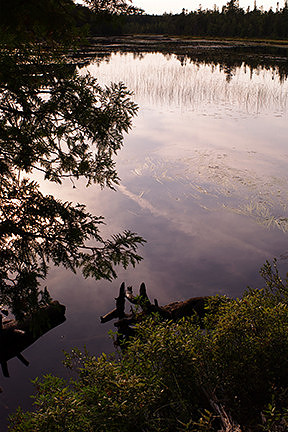
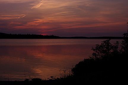
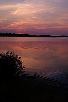
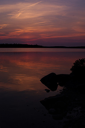
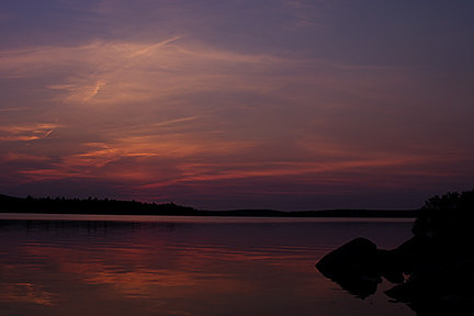
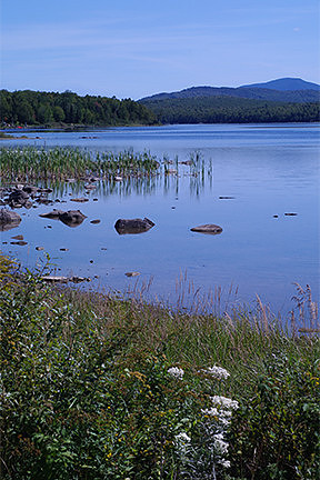
My next stop was a location the ranger at the visitor center had told me about. I followed his directions and found myself on the shores of Nesowadnehunk Lake. I arrived at the perfect time as the sky exploded in color with a beautiful sunset. I did what I could with the rocks, grass, and a small boat to try to make interesting photos of that wonderful color.
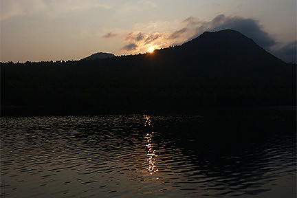
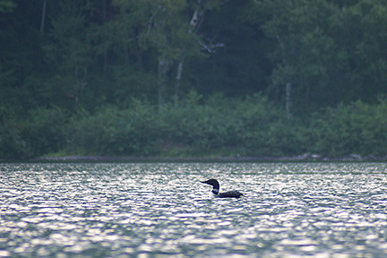
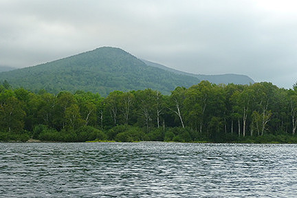
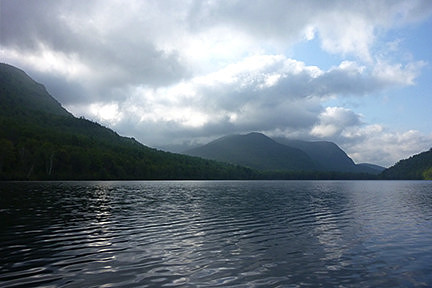
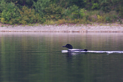
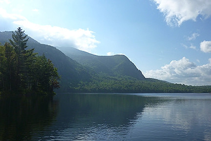
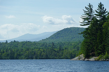
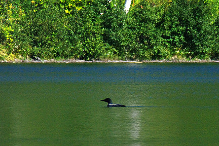
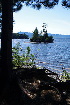
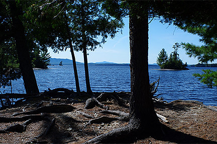
I still had a ways to travel before reaching South Branch Pond Campground. I checked in, then drove to my site. It was completely dark by then, but I had no trouble finding it, as I always try to stay in the same site. I made dinner, and then settled in for the night. It had been a long day, but I was happy with all I’d seen and done so far. The next morning, I woke up early and headed down to the ranger’s cabin and rented a kayak. I suited up and spent the morning kayaking with my camera on Lower South Branch Pond. I took a few photos of the sunrise, of the mountains around the lake, and of a loon. But, for the most part, I just enjoyed my time on the water.
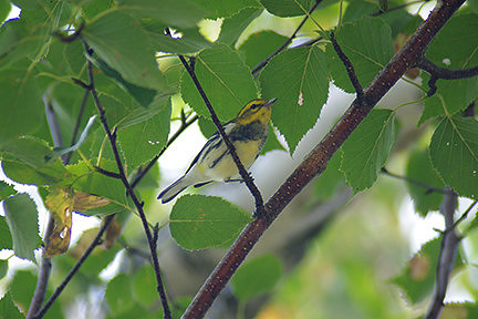
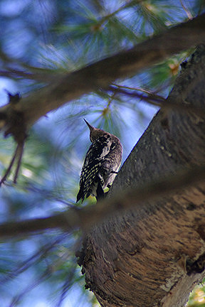
Around lunchtime, I walked back down to the lakeshore with my camera to spend some time at one of the picnic tables. There were quite a few birds around, so I had fun trying to get photos. There were some yellow, white, and black songbirds in the trees above me that I’d never seen before. There was a family of ducks in the water close to shore, as well.
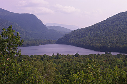
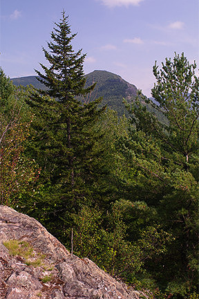
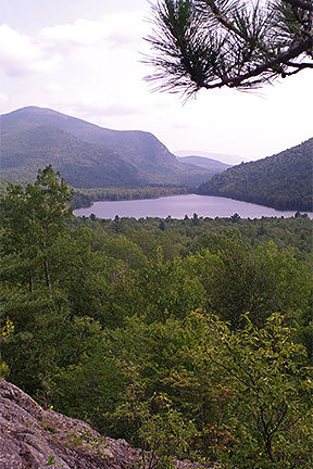
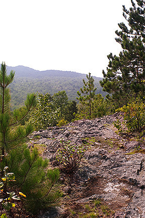
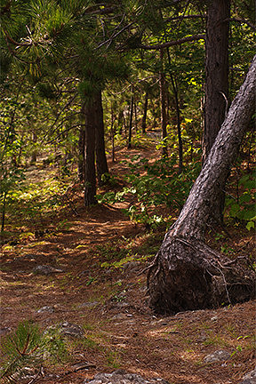
A little while later, I decided to go for a hike. The trailhead for the Middle Fowler Pond Trail was just a short distance from my campsite, and it was supposed to connect to the Ledges Trail about a quarter-mile up. There were supposed to be some good views from up on the ledges with the total loop being a short and relatively easy hike. It was an enjoyable little hike. The views were more restricted than I was expecting, really just small peeks at the lake and the mountains. It was still pretty, though. I imagine it must be quite the sight in autumn when the leaves are in full color. I took a few photos but didn’t spend much time there. I hadn’t brought my regular camera or tripod, just the little point and shoot, but it was still fun.
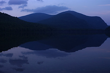
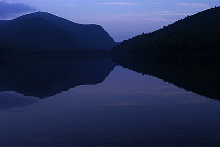
After dinner, I walked back down to the lakeshore. I missed sunset but spent a bit of time getting photos of the pond during blue hour. The water was so still that the reflections were nearly perfect. It was very peaceful and a great way to end a very relaxing day.
The following morning, I rented a kayak and headed out onto the water once more. This time, however, I paddled to the far end and then portaged the kayak the half-mile to Upper South Branch Pond. I spent a little while exploring the second pond and taking loads of photos before heading back. I was glad to have seen the upper pond but found the wind was much stronger, making the paddling more difficult. I was also a little more nervous about rolling, as I’d had a mishap earlier when trying to get back in the kayak after the portage. Let’s just say, it was a good thing my cameras were in a dry bag and leave it at that.
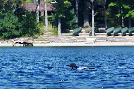
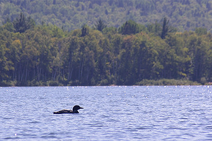
Back on Lower South Branch Pond, I came across some loons near the campground. I spent a little while watching them and trying to get photos. I was surprised by how relatively close the loons let me get and grateful that I’d brought the regular camera with the zoom lens. It was a really great way to end the morning.
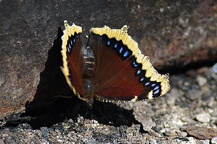
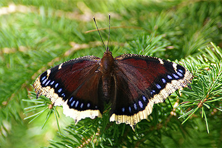
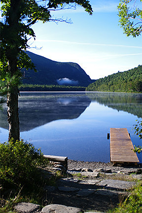
It was lunchtime by then, so I headed to camp to change and eat some food before wandering back down to the picnic table by the water once again. I took some photos of the dock, then spent quite a while trying to get photos of the butterflies visiting the fire pit. There was another small bird in the tree above me, this time similar to the Downey and Hairy Woodpeckers with the mottled black and white back, but the breast and head looked different, possibly a pale brown in color. The loons were also still visible out on the water, so I continued to try to get some images of them.
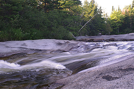
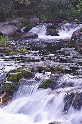
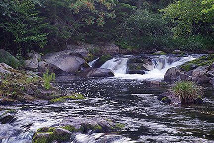
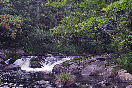
Eventually, I decided to go for a drive. I hopped in the jeep and drove south through the park, hoping to possibly see some wildlife. Unfortunately, I didn’t see anything by the time I reached Ledge Falls. I pulled into the small parking area and spent a good half-hour getting photos of the area. After that, I decided to start heading back. Once more, I didn’t spot any wildlife.
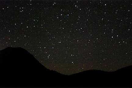
A few hours later, after I’d made it back to camp, had dinner, and relaxed for a bit, I decided to walk down to the lake. The sky was clear and brightly lit with all the stars. I spent a half-hour attempting some night photography. I would have liked to stay longer and try some really long exposures, but some other campers arrived with their flashlights, so it was time to head back and go to bed.
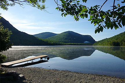
The next morning, I woke up early and started to pack up. It was time to head back home. Since I slept in my jeep, there wasn’t much I had to do before it was ready to go. I ate breakfast, then walked down to the pond one last time. It was a beautiful sunny morning, and the water was completely still. There wasn’t much activity at the other campsites, so it was quite peaceful. I spent a few minutes taking some photos, then headed back to the jeep.
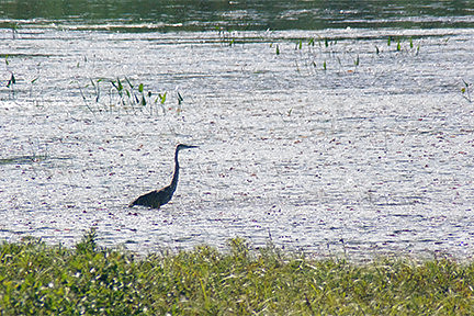
I drove slowly back through the park towards the Togue Pond Gate, keeping an eye out for wildlife. Unfortunately, I didn’t see any animals during the two-hour drive, though the sounds of birdcalls filled the forest around me. After leaving the park, I drove south until I came to the little causeway between Millinocket Lake and Ambajejus Lake. There, I turned off the main road and entered Katahdin Forest, following the Golden Road north once more. I finally had my first wildlife encounter at one of the little ponds next to the road. I pulled over and spent a few minutes trying to get photos of the Great Blue Heron. Unfortunately, they weren’t great. The heron was some distance away, and the angle of the sun meant the side facing me was cast in shadow. But, I was still happy to see it and to get photos.
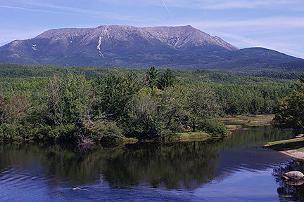
About twenty minutes later, I arrived at Abol Bridge spanning the west branch of the Penobscot River. I drove across the bridge and parked on the side of the road just beyond. I grabbed my camera and walked back along the bridge to a good spot. This bridge is pretty famous. Folks walking north on the Appalachian Trail come out of the woods just a bit further up the road from where I parked. They walk down the road and over the bridge and get their first really good view of Mt Katahdin, the endpoint of their journey. They head into the woods and enter Baxter State Park just beyond the other end of the bridge, on their final approach to reach their goal of hiking over 2000 miles from Georgia to Maine. The bridge is well known as a great spot for photos of Mt Katahdin. The Penobscot River is big for white-water rafting, so it’s also a place to watch and photograph any rafting groups coming through. The water by the bridge is very calm, so it’s not a place to get actual white-water shots, though. I spent a bit of time on the bridge getting photos of the mountains and the river and even had a rafting group float past. They decided to form up in a pyramid like a cheerleading squad as they approached, which was a new sight for me.
After I was done at Abol Bridge, I continued my journey along the Golden Road. This road is mostly dirt and is a logging road. It is well traveled, not only by all the big logging trucks, but also by many others making their way through the North Maine Woods. There is a vast network of logging roads that lead off from the Golden Road, and they are the only way to reach remote camps, hiking, four-wheeling, and snowmobile trails, or wildlife viewing (or hunting in the appropriate season). The Golden Road itself connects to the Moosehead Lake Region to the west, so I was going to follow it all the way and head home from there, rather than simply retracing my steps and taking the turnpike all the way back. This was the first time I would be doing the full length of the Golden Road from start to finish. I was hoping to increase my chances of seeing more wildlife, as the logging roads are famous for wildlife viewing. Additionally, there were numerous landscape features marked on the map along the Golden Road that I’d always wanted to see, so this was a perfect opportunity. Unfortunately, I didn’t see any animals in the two and a half hour drive to Moosehead Lake. However, I did stop several times along the way for photos. While I didn’t have time to actually get out and explore, and the photography wasn’t the best, taken at the side of the road at lunchtime, I still had a lot of fun.
When I reached the Moosehead Lake Region, I stopped at Lily Bay State Park to finally have some lunch. I’d camped there in the past but never had a chance to look around. After I finished eating, I grabbed my camera and did a little exploring. It was great fun, and I got some nice photos of the area.
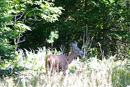
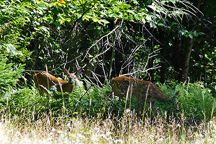
I left the park about an hour later, and not long after stumbled across a few deer. There was a doe with two larger fawns in the tall grass on the side of the road. I was the only one around for the moment, so I stopped to try to get some photos out my window. The lighting was very tricky with the grass in bright sunshine but the trees behind mottled in light and shadow. I was struggling to get the settings right and to get the deer in focus while handholding and watching for traffic. Unfortunately, a vehicle approached from the other direction and spooked the deer, so they all disappeared into the trees. I only had a few moments with them, but it was still an amazing experience. I think that may have been the first time I ever saw fawns in the wild, and the fact I got photos, even bad ones, was just spectacular!
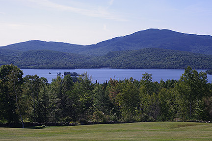
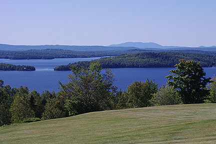
I continued on, grinning from ear to ear. A few minutes later, I came to an open area with good views of the lake and surrounding mountains. I often stop there whenever I’m in the area, so I pulled over once more. I took a few photos of the vista then called it a day. I stopped to fill up on gas in Greenville, then headed home, brimming with happiness at everything I’d seen and experienced on my little adventure.
|